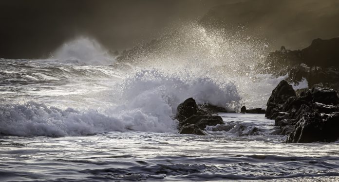
Coastal engineers are using a tool developed by Manchester Metropolitan University to better understand how strong winds amplify waves that can crash damagingly over the shoreline
The graphic simulation and data tool will help companies design infrastructure to take a more detailed account of so-called ‘wave overtopping’, where seawater surges over coastline structures such as sea walls, embankments and breakwaters, exacerbated by the wind.
One of the advantages of the more accurate forecasts is being able to remove the need for large safety margins in seaside civil engineering and construction projects.
This will enable them to mitigate wind effects in order to create sea defences more resilient to the impact of climate change on our oceans.
Lead academic, Dr Jian Zhou, reader in computational hydrodynamics at Manchester Metropolitan University, said: “Climate change will continue to amplify the strength and frequency of winds, storms and hurricanes, as seen in Hurricane Florence and Hurricane Dorian.
“This, in turn, increases the severity of the damage to infrastructure worldwide through flood damage to properties, power stations, railways and sea defences.
“When exacerbated by the wind, coastal flooding from wave overtopping could be substantial along UK coasts and this poses significant flooding risks to coastal infrastructure in the UK as an island nation.
“The biggest problem, however, is that industry lacks the necessary tool to assess and quantify wind effects on wave overtopping.
“Quantifying such effects is an unresolved challenge in coastal engineering and this leaves the UK’s infrastructure design ill-prepared to meet the challenge of climate change.”
The project, QatWeWos, was funded by the Natural Environment Research Council in collaboration with leading industry experts from Royal HaskoningDHV, an international, engineering, design and project management consultancy; HR Wallingford, a research and consultancy in civil engineering, environmental hydraulics and water management; the Environment Agency; EDF Energy, an integrated energy company, and Torbay Council in Devon.
A new computer module was developed to quantify wind effects on wave overtopping, accounting for the effects of sea-level rise.
The simulation dynamically visualises the side profile of a wave affected by the wind while the increase in the volume of overtopping wave water is predicted using a companion database that holds basic combinations of wind, wave and sea defence data.
Dr Zhou said the research has shown that the overtopping volume can be increased by 53% when winds reach speeds of over 30m/s and waves reach heights of 3.5m.
Royal HaskoningDHV, as one of the leading firms in coastal engineering, recently completed a project for Torbay Council called Torbay Coastal Defences – Climate Change Adaptation to identify the significance of wind effect on wave overtopping and subsequent flooding.
Torbay Council reported spray blown by the wind was often a key factor of coastal flooding along the coast such as at the Livermead sea defences in Torquay.
Dr Keming Hu, technical director at Royal HaskoningDHV, said: “In the past, it has been difficult to assess the wind effect on coastal overtopping due to the lack of reliable tools which resulted in the effect being largely ignored in any design works.”
It is envisaged the tool has the potential of becoming a standard design tool in coastal and marine engineering.


