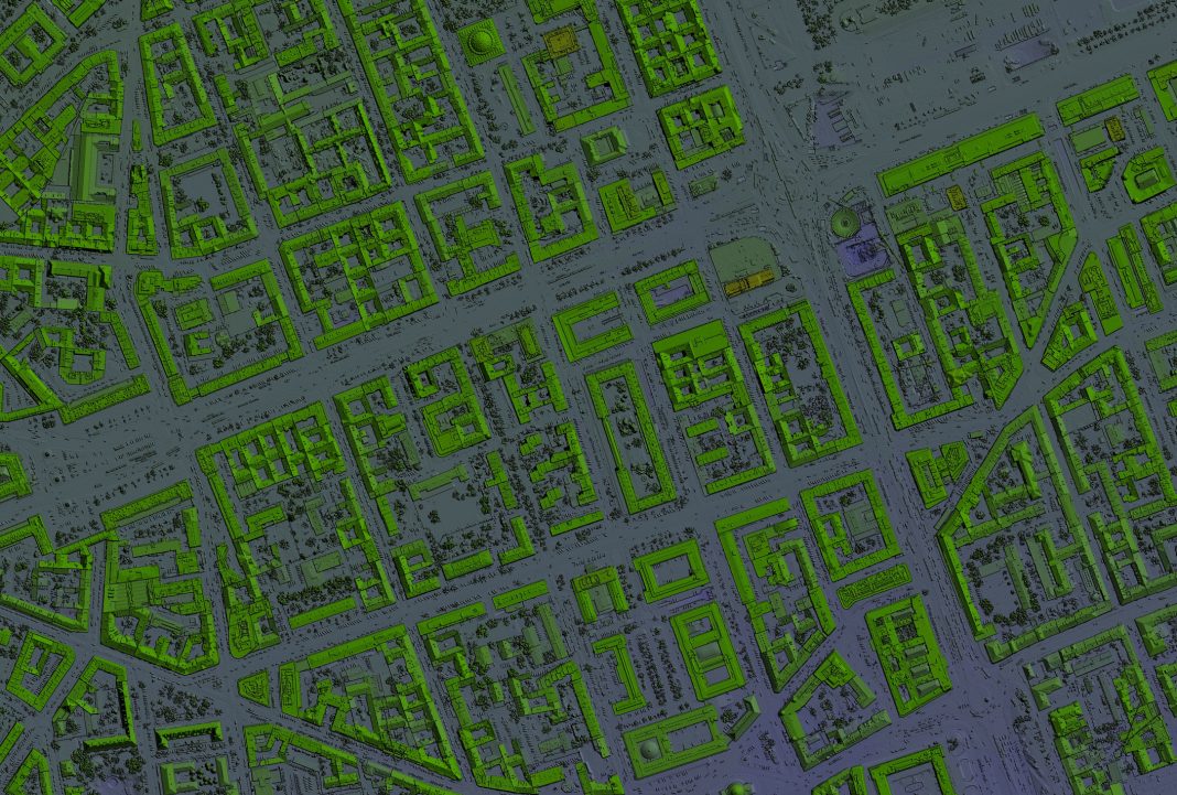
Location data, services, and applications are driving technological developments across the planning, building and construction sectors. Holly West from the Geospatial Commission explores its work to showcase the opportunities of this data to transform the property sector
We use online maps to plan routes in real-time and track deliveries to our door.
Businesses and the public sector increasingly use location data, services and applications to drive efficiencies and deliver better services to the public such as monitoring the supply chain and improving emergency response times.
The property sector is also adopting new technologies and digital solutions to address the challenges of today and tomorrow.
Applying a spatial lens is crucial to achieving the sector’s economic, social and environmental ambitions, boosting productivity and innovation, improving our residential areas and achieving net zero commitments.
From town planning and site identification to property management and retrofitting, location data, services and applications are at the core of this technological revolution.
New report recommends greater re-use of data in the construction process
Our new report explores how location data is used throughout the property lifecycle.
It sets out four cross-cutting themes, which are key to harnessing new opportunities from location data related to property:
The report also sets out commitments to improve public sector data, highlights projects making best use of location data, and identifies opportunities to unlock further benefits utilising location data, services and applications.
- Property data as an interconnected system: Considering the whole property lifecycle or customer journey, and the wider context rather than just datasets or parts of processes in isolation, can unlock significant benefits.
- A strategic approach to data access: Approaching sustainable data access strategically, incorporating intellectual property, security and privacy aspects, is crucial for innovation and economic growth across the property sector.
- The provision of authoritative data: Authoritative data is a complex and evolving concept that can include foundational data enabling others to develop value-added services, and single-source or independently verified data underpinning legal liabilities.
- Compatible data standards: Standards are wide-ranging from best practice to legally backed technical requirements; this creates a complex system that can limit full data interoperability.
The use of location data during construction will reduce costs and support maintenance
One of these opportunities is greater reuse of location data collected and created during design and construction (eg ground condition, topographical data, environmental surveys, and as-built plans).
Better sharing of this data would reduce data recreation and duplication later in a property’s lifecycle, reduce costs and support building maintenance and potential retrofit.
For example, the British Geological Survey already has over a million UK borehole records held in the National Geoscience Data Centre. Thousands of new records are added each year, but many are missing.
The report highlights the potential for improving this data resource, and also to broaden reuse to other types of data commonly collected during the design and construction process.
UK Geospatial Strategy 2030
The property report is the first deliverable from the UK Geospatial Strategy 2030, published in June. The strategy sets out three renewed missions to make sure the best use is made of location data across all sectors of the UK economy:
- Embrace enabling technologies to accelerate geospatial innovation.
- Drive greater use of geospatial applications and insights across the economy.
- Build confidence in the future geospatial ecosystem.
Achieving these missions will unlock billions of pounds in economic benefits for the UK through harnessing technologies, such as AI, satellite imaging and real-time data to boost location-powered innovation and drive the use of location data in property, transport, utilities and beyond.
The National Underground Asset Register
A prime example of that is the National Underground Asset Register (NUAR). This is a government-led programme is creating a digital map of underground pipes and cables that is revolutionising the way we install, maintain, operate and repair our buried infrastructure.
The digital map gives planners and excavators standardised access to the data they need, when they need it, to carry out their work effectively and safely. It also includes features to keep data secure and improve its quality over time.
The first phase of NUAR was delivered in April and contains data from the public and private sector organisations who own pipes and cables in North East England, Wales and London.
This includes all of the major energy and water providers, such as Northumbrian Water, Wales & West Utilities, Southern Electric Power Distribution and National Grid, as well as smaller providers of these services, telecommunications companies, transport organisations and local authorities.
Once complete, NUAR will cover England, Northern Ireland and Wales. (In Scotland the Scottish Community Apparatus Data Vault (‘Vault’) is making underground pipe and cable information accessible via the Scottish Road Works Register).
NUAR shows how location data can improve efficiencies in construction and development, reduce disruption to the public and businesses (from extended road closures and congestion), improve workers’ safety and is envisaged to deliver at least £350m in economic growth per year.
Location data is fuelling the technological revolution across the UK economy with substantial opportunities across all aspects of the property ecosystem.
We welcome a continuing dialogue with the planning, building and construction industry about the future role of location data, services and applications to drive growth and innovation.
Holly West
Senior policy adviser
Geospatial Commission
www.geospatialcommission.blog.gov.uk


![[Video] Fireco: 80 new fire doors required for residential flats in London](https://www.pbctoday.co.uk/news/wp-content/uploads/2025/04/2024-06-01-Lords-view-one_1200x750_004-218x150.webp)


